Residential part of Caldicot Road, Portskewett
Introduction
The photograph on this page of Residential part of Caldicot Road, Portskewett by Jaggery as part of the Geograph project.
The Geograph project started in 2005 with the aim of publishing, organising and preserving representative images for every square kilometre of Great Britain, Ireland and the Isle of Man.

There are currently over 7.5m images from over 14,400 individuals and you can help contribute to the project by visiting https://www.geograph.org.uk
Residential part of Caldicot Road, Portskewett
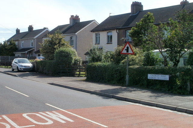
Image: © Jaggery Taken: 8 Sep 2010
Behind the camera, Caldicot Road's course through the western side of Portskewett has been through a business park http://www.geograph.org.uk/photo/2058147 and an industrial estate. It now enters the residential area of Portskewett. These houses are on the south side of the road.
Images are licensed for reuse under creativecommons.org/licenses/by-sa/2.0
Image Location
Latitude
51.589467
Longitude
-2.731782