Bridleway and drive at Nurton Hill
Introduction
The photograph on this page of Bridleway and drive at Nurton Hill by Richard Law as part of the Geograph project.
The Geograph project started in 2005 with the aim of publishing, organising and preserving representative images for every square kilometre of Great Britain, Ireland and the Isle of Man.

There are currently over 7.5m images from over 14,400 individuals and you can help contribute to the project by visiting https://www.geograph.org.uk
Bridleway and drive at Nurton Hill
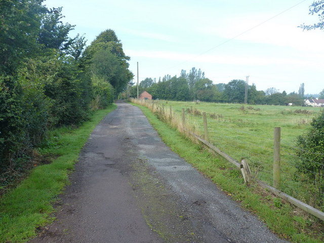
Image: © Richard Law Taken: 8 Sep 2010
The bridleway has been 'usurped' and turned into a vehicle access, by the owners of the house at the end of the road. Past their gateway, it turns back into a narrow single track down the hill.
Images are licensed for reuse under creativecommons.org/licenses/by-sa/2.0
Image Location
Latitude
52.594924
Longitude
-2.248559