Nettle-lined track alongside Nedern Brook, Caldicot
Introduction
The photograph on this page of Nettle-lined track alongside Nedern Brook, Caldicot by Jaggery as part of the Geograph project.
The Geograph project started in 2005 with the aim of publishing, organising and preserving representative images for every square kilometre of Great Britain, Ireland and the Isle of Man.

There are currently over 7.5m images from over 14,400 individuals and you can help contribute to the project by visiting https://www.geograph.org.uk
Nettle-lined track alongside Nedern Brook, Caldicot
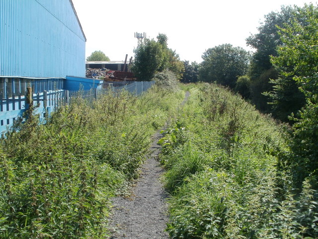
Image: © Jaggery Taken: 8 Sep 2010
On the eastern side of the B4245 (Caldicot Bypass) a narrow track, with intruding banks of stinging nettles on each side, runs parallel with the course of Nedern Brook, overgrown with vegetation and below the track, on the right side of the view.
Images are licensed for reuse under creativecommons.org/licenses/by-sa/2.0
Image Location
Latitude
51.589413
Longitude
-2.740442