Unused bridleway to Westmore House
Introduction
The photograph on this page of Unused bridleway to Westmore House by David Anstiss as part of the Geograph project.
The Geograph project started in 2005 with the aim of publishing, organising and preserving representative images for every square kilometre of Great Britain, Ireland and the Isle of Man.

There are currently over 7.5m images from over 14,400 individuals and you can help contribute to the project by visiting https://www.geograph.org.uk
Unused bridleway to Westmore House
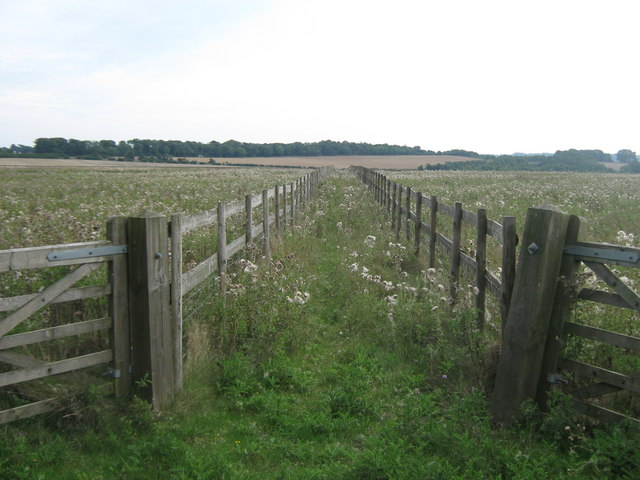
Image: © David Anstiss Taken: 5 Sep 2010
This track between horse paddocks leads from Upper Digges Farm on the North Downs Way (long distance path), it heads towards the B2046 Adisham Road near the house.
Images are licensed for reuse under creativecommons.org/licenses/by-sa/2.0
Image Location
Latitude
51.214636
Longitude
1.171739