Castle Lea, Caldicot
Introduction
The photograph on this page of Castle Lea, Caldicot by Jaggery as part of the Geograph project.
The Geograph project started in 2005 with the aim of publishing, organising and preserving representative images for every square kilometre of Great Britain, Ireland and the Isle of Man.

There are currently over 7.5m images from over 14,400 individuals and you can help contribute to the project by visiting https://www.geograph.org.uk
Castle Lea, Caldicot
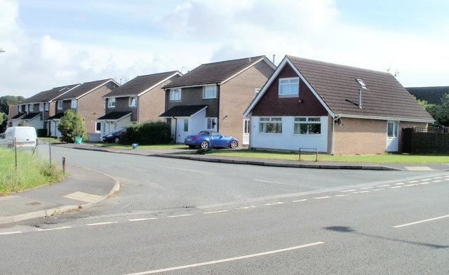
Image: © Jaggery Taken: 8 Sep 2010
Castle Lea is an area of about 160 houses, built c1970, on the north side of Chepstow Road. The houses shown here at the SW edge of Castle Lea, viewed across Chepstow Road.
Images are licensed for reuse under creativecommons.org/licenses/by-sa/2.0
Image Location
Latitude
51.590266
Longitude
-2.747673