Chepstow Road between the two ends of Old Chepstow Road
Introduction
The photograph on this page of Chepstow Road between the two ends of Old Chepstow Road by Jaggery as part of the Geograph project.
The Geograph project started in 2005 with the aim of publishing, organising and preserving representative images for every square kilometre of Great Britain, Ireland and the Isle of Man.

There are currently over 7.5m images from over 14,400 individuals and you can help contribute to the project by visiting https://www.geograph.org.uk
Chepstow Road between the two ends of Old Chepstow Road
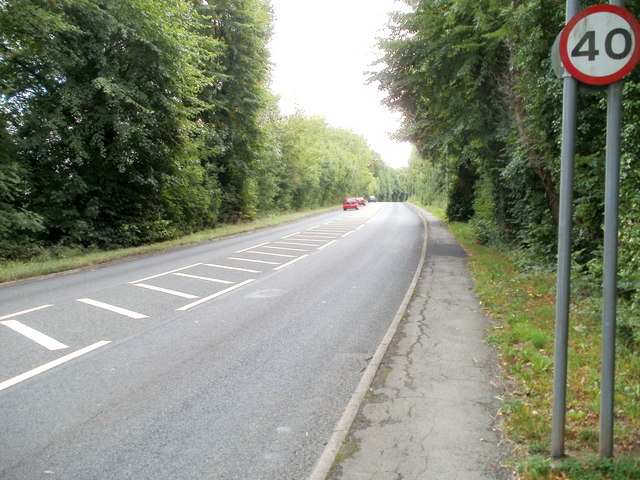
Image: © Jaggery Taken: 14 Aug 2010
This section of Chepstow Road (A48), about 500 metres long and rural in appearance, has taken most of the traffic away from the residential area alongside the old route nearby, now named Old Chepstow Road. http://www.geograph.org.uk/photo/1988411
Images are licensed for reuse under creativecommons.org/licenses/by-sa/2.0
Image Location
Latitude
51.605363
Longitude
-2.902428