Field entrance, Court Farm
Introduction
The photograph on this page of Field entrance, Court Farm by Jaggery as part of the Geograph project.
The Geograph project started in 2005 with the aim of publishing, organising and preserving representative images for every square kilometre of Great Britain, Ireland and the Isle of Man.

There are currently over 7.5m images from over 14,400 individuals and you can help contribute to the project by visiting https://www.geograph.org.uk
Field entrance, Court Farm
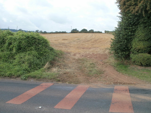
Image: © Jaggery Taken: 14 Aug 2010
The entrance is from Magor Road (B4245). The pinkish-red road markings are intended to alert motorists to a bend in the road, and an imminent reduction in the speed limit from 50mph to 30mph at the western edge of Llanmartin.
Images are licensed for reuse under creativecommons.org/licenses/by-sa/2.0
Image Location
Latitude
51.601932
Longitude
-2.880701