Fence by the roadside
Introduction
The photograph on this page of Fence by the roadside by Dave Fergusson as part of the Geograph project.
The Geograph project started in 2005 with the aim of publishing, organising and preserving representative images for every square kilometre of Great Britain, Ireland and the Isle of Man.

There are currently over 7.5m images from over 14,400 individuals and you can help contribute to the project by visiting https://www.geograph.org.uk
Fence by the roadside
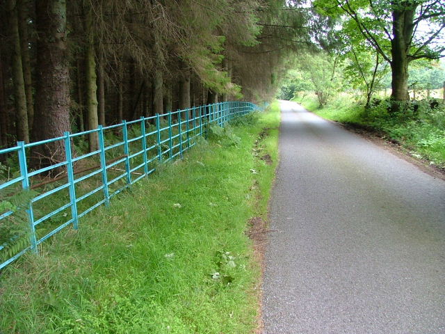
Image: © Dave Fergusson Taken: 1 Sep 2010
Possibly a Water Board fence as there appears to be water treatment plant by the Slateford Burn beyond the trees.
Images are licensed for reuse under creativecommons.org/licenses/by-sa/2.0
Image Location
Latitude
56.278817
Longitude
-3.480663