A50, Groby bypass
Introduction
The photograph on this page of A50, Groby bypass by Kate Jewell as part of the Geograph project.
The Geograph project started in 2005 with the aim of publishing, organising and preserving representative images for every square kilometre of Great Britain, Ireland and the Isle of Man.

There are currently over 7.5m images from over 14,400 individuals and you can help contribute to the project by visiting https://www.geograph.org.uk
A50, Groby bypass
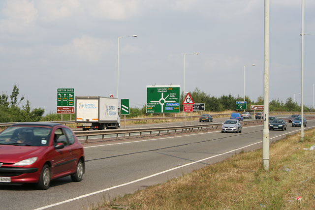
Image: © Kate Jewell Taken: 20 Jul 2006
Looking towards the roundabout that gives access to the A46, Western bypass round Leicester. The A50 used to go through the village of Groby becoming very narrow through the centre.
Images are licensed for reuse under creativecommons.org/licenses/by-sa/2.0
Image Location


Leaflet Map data © OpenStreetMap
Latitude
52.662587
Longitude
-1.210411