Toll Cottage
Introduction
The photograph on this page of Toll Cottage by David Anstiss as part of the Geograph project.
The Geograph project started in 2005 with the aim of publishing, organising and preserving representative images for every square kilometre of Great Britain, Ireland and the Isle of Man.

There are currently over 7.5m images from over 14,400 individuals and you can help contribute to the project by visiting https://www.geograph.org.uk
Toll Cottage
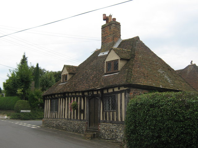
Image: © David Anstiss Taken: 5 Sep 2010
On the junction of Old Court Hill (which becomes Vicarage Lane) on the left, and Church Street (behind the cottage).
Images are licensed for reuse under creativecommons.org/licenses/by-sa/2.0
Image Location
Latitude
51.225403
Longitude
1.22534