St Paul's Hammersmith: building the extension
Introduction
The photograph on this page of St Paul's Hammersmith: building the extension by Stephen Craven as part of the Geograph project.
The Geograph project started in 2005 with the aim of publishing, organising and preserving representative images for every square kilometre of Great Britain, Ireland and the Isle of Man.

There are currently over 7.5m images from over 14,400 individuals and you can help contribute to the project by visiting https://www.geograph.org.uk
St Paul's Hammersmith: building the extension
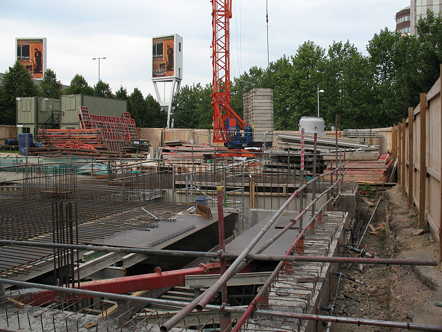
Image: © Stephen Craven Taken: 6 Sep 2010
A new west end extension under construction for this restored parish church. Over 500 19th century burials had to be exhumed for this project, under the watchful eye of a team of specialist archaeologists.
Images are licensed for reuse under creativecommons.org/licenses/by-sa/2.0
Image Location
Latitude
51.49157
Longitude
-0.225953