Crick - Start of Dual Carriageway
Introduction
The photograph on this page of Crick - Start of Dual Carriageway by Roy Parkhouse as part of the Geograph project.
The Geograph project started in 2005 with the aim of publishing, organising and preserving representative images for every square kilometre of Great Britain, Ireland and the Isle of Man.

There are currently over 7.5m images from over 14,400 individuals and you can help contribute to the project by visiting https://www.geograph.org.uk
Crick - Start of Dual Carriageway
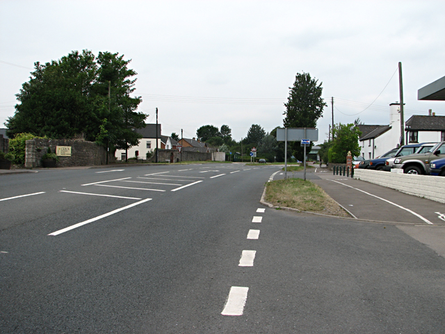
Image: © Roy Parkhouse Taken: 20 Jul 2006
To the left is the road junction to Portskewett, just after which the dual carriageway starts, continuing to the outskirts of Caerwent.
Images are licensed for reuse under creativecommons.org/licenses/by-sa/2.0
Image Location
Latitude
51.607385
Longitude
-2.742179