York Field, Copmanthorpe
Introduction
The photograph on this page of York Field, Copmanthorpe by Malcolm Temple as part of the Geograph project.
The Geograph project started in 2005 with the aim of publishing, organising and preserving representative images for every square kilometre of Great Britain, Ireland and the Isle of Man.

There are currently over 7.5m images from over 14,400 individuals and you can help contribute to the project by visiting https://www.geograph.org.uk
York Field, Copmanthorpe
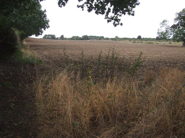
Image: © Malcolm Temple Taken: 3 Sep 2010
A general view of Yorkfield looking North towards the A64. The name appears as two words on many maps, but locally, as in "Yorkfield" Lane the words run together.
Images are licensed for reuse under creativecommons.org/licenses/by-sa/2.0
Image Location
Latitude
53.920583
Longitude
-1.130841