Bridleway junction near Ileden Cottages
Introduction
The photograph on this page of Bridleway junction near Ileden Cottages by David Anstiss as part of the Geograph project.
The Geograph project started in 2005 with the aim of publishing, organising and preserving representative images for every square kilometre of Great Britain, Ireland and the Isle of Man.

There are currently over 7.5m images from over 14,400 individuals and you can help contribute to the project by visiting https://www.geograph.org.uk
Bridleway junction near Ileden Cottages
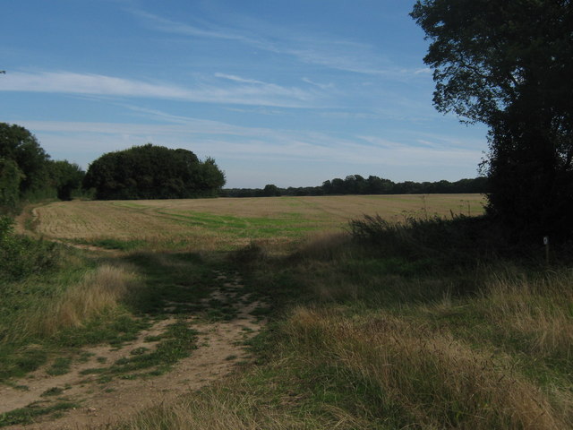
Image: © David Anstiss Taken: 5 Sep 2010
A bridleway from Illeden Farm, heads slightly left via a tree lined track towards Oxenden Wood (in the background) and onwards to Woodland Road. Another track leads right into Woodlands Wood and towards Cooting Down and Cooting Farm.
Images are licensed for reuse under creativecommons.org/licenses/by-sa/2.0
Image Location
Latitude
51.228786
Longitude
1.167412