Skew bridge, Madresfield
Introduction
The photograph on this page of Skew bridge, Madresfield by Bob Embleton as part of the Geograph project.
The Geograph project started in 2005 with the aim of publishing, organising and preserving representative images for every square kilometre of Great Britain, Ireland and the Isle of Man.

There are currently over 7.5m images from over 14,400 individuals and you can help contribute to the project by visiting https://www.geograph.org.uk
Skew bridge, Madresfield
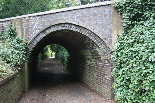
Image: © Bob Embleton Taken: 29 Aug 2010
The east of two bridges (the other can just be seen under the arch) allowing the public footpath to pass beneath Madresfield Estate roads.
Images are licensed for reuse under creativecommons.org/licenses/by-sa/2.0
Image Location


Leaflet Map data © OpenStreetMap
Latitude
52.127991
Longitude
-2.281447