2010 : Due east from Charlton Road near Keynsham
Introduction
The photograph on this page of 2010 : Due east from Charlton Road near Keynsham by Maurice Pullin as part of the Geograph project.
The Geograph project started in 2005 with the aim of publishing, organising and preserving representative images for every square kilometre of Great Britain, Ireland and the Isle of Man.

There are currently over 7.5m images from over 14,400 individuals and you can help contribute to the project by visiting https://www.geograph.org.uk
2010 : Due east from Charlton Road near Keynsham
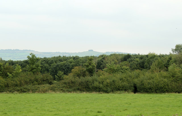
Image: © Maurice Pullin Taken: 6 Sep 2010
Abbots Wood lies beyond the pasture, marked on OS Explorer Map 155 as "Access land." Kelston Round Hill stands faint on the horizon Image Lansdown is to the left.
Images are licensed for reuse under creativecommons.org/licenses/by-sa/2.0
Image Location
Latitude
51.40297
Longitude
-2.513882