Low Bridge of Barlay and Galrinnies
Introduction
The photograph on this page of Low Bridge of Barlay and Galrinnies by James Bell as part of the Geograph project.
The Geograph project started in 2005 with the aim of publishing, organising and preserving representative images for every square kilometre of Great Britain, Ireland and the Isle of Man.

There are currently over 7.5m images from over 14,400 individuals and you can help contribute to the project by visiting https://www.geograph.org.uk
Low Bridge of Barlay and Galrinnies
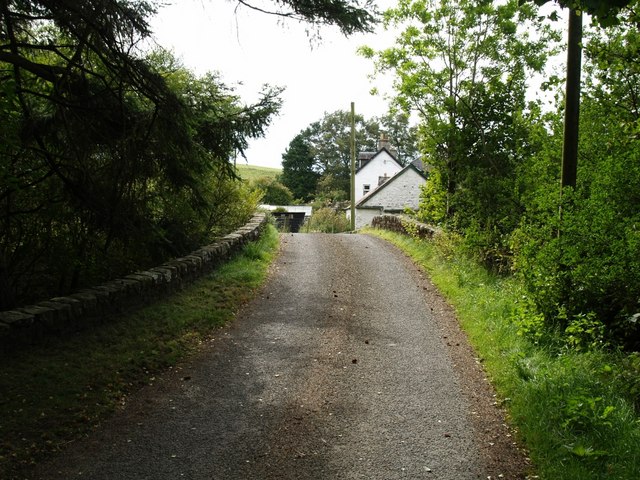
Image: © James Bell Taken: 6 Sep 2010
This bridge has no name on modern map. Galrinnies was shown as Bridge-end on 1st OS map. http://maps.nls.uk/os/6inch/view/?sid=74427637&zoom=7&lat=8362.54116&lon=9845&layers=B
Images are licensed for reuse under creativecommons.org/licenses/by-sa/2.0
Image Location
Latitude
55.07736
Longitude
-4.062278