Bridgend of Lethnot
Introduction
The photograph on this page of Bridgend of Lethnot by Anne Burgess as part of the Geograph project.
The Geograph project started in 2005 with the aim of publishing, organising and preserving representative images for every square kilometre of Great Britain, Ireland and the Isle of Man.

There are currently over 7.5m images from over 14,400 individuals and you can help contribute to the project by visiting https://www.geograph.org.uk
Bridgend of Lethnot
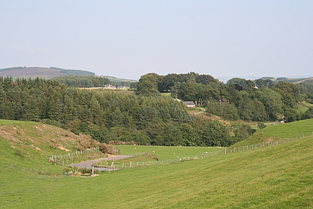
Image: © Anne Burgess Taken: 3 Sep 2010
Bridgend was and to some extent still is the social focus of the scattered parish of Lethnot and Navar. It is situated just where the West Water emerges from Glen Lethnot proper and crosses the Highland Boundary Fault into the Lowlands.
Images are licensed for reuse under creativecommons.org/licenses/by-sa/2.0
Image Location
Latitude
56.804447
Longitude
-2.759799