Craigendowie
Introduction
The photograph on this page of Craigendowie by Anne Burgess as part of the Geograph project.
The Geograph project started in 2005 with the aim of publishing, organising and preserving representative images for every square kilometre of Great Britain, Ireland and the Isle of Man.

There are currently over 7.5m images from over 14,400 individuals and you can help contribute to the project by visiting https://www.geograph.org.uk
Craigendowie
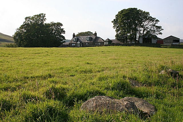
Image: © Anne Burgess Taken: 3 Sep 2010
The house at Craigendowie faces south-east down the glen, with the farm buildings behind it. My seventh-great-grandfather James Mollison farmed here in the 1600s, though the present house is nothing like as old as that.
Images are licensed for reuse under creativecommons.org/licenses/by-sa/2.0
Image Location
Latitude
56.813182
Longitude
-2.785528