Abbey Hill, near Winterburn
Introduction
The photograph on this page of Abbey Hill, near Winterburn by Kate Jewell as part of the Geograph project.
The Geograph project started in 2005 with the aim of publishing, organising and preserving representative images for every square kilometre of Great Britain, Ireland and the Isle of Man.

There are currently over 7.5m images from over 14,400 individuals and you can help contribute to the project by visiting https://www.geograph.org.uk
Abbey Hill, near Winterburn
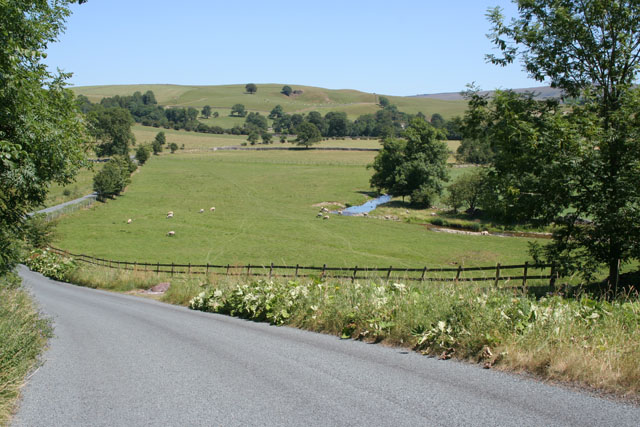
Image: © Kate Jewell Taken: 17 Jul 2006
This stream flows out of Winterburn Reservoir in Image and turns into Eshton Beck just down stream of Friar's Head in Image
Images are licensed for reuse under creativecommons.org/licenses/by-sa/2.0
Image Location


Leaflet Map data © OpenStreetMap
Latitude
54.022444
Longitude
-2.115966