Footpath to Bekesbourne Lane
Introduction
The photograph on this page of Footpath to Bekesbourne Lane by David Anstiss as part of the Geograph project.
The Geograph project started in 2005 with the aim of publishing, organising and preserving representative images for every square kilometre of Great Britain, Ireland and the Isle of Man.

There are currently over 7.5m images from over 14,400 individuals and you can help contribute to the project by visiting https://www.geograph.org.uk
Footpath to Bekesbourne Lane
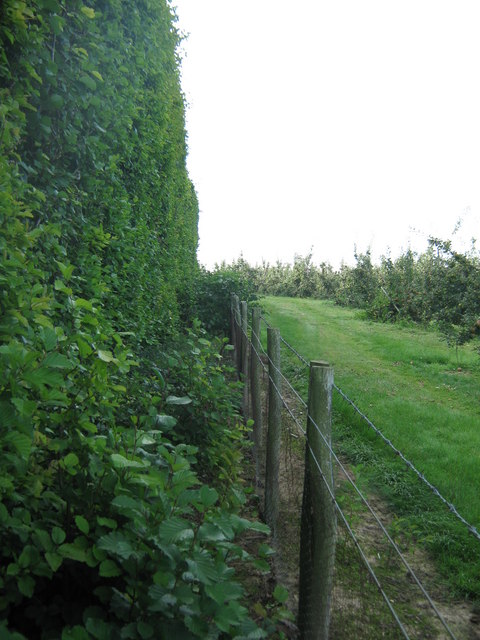
Image: © David Anstiss Taken: 5 Sep 2010
A path from Conduit Wood, leads through a strawberry and polytunnel farm, and then along this hedge towards the lane. On the right is an apple orchard.
Images are licensed for reuse under creativecommons.org/licenses/by-sa/2.0
Image Location
Latitude
51.265149
Longitude
1.139805