2010 : B4039 at Upper Castle Combe
Introduction
The photograph on this page of 2010 : B4039 at Upper Castle Combe by Maurice Pullin as part of the Geograph project.
The Geograph project started in 2005 with the aim of publishing, organising and preserving representative images for every square kilometre of Great Britain, Ireland and the Isle of Man.

There are currently over 7.5m images from over 14,400 individuals and you can help contribute to the project by visiting https://www.geograph.org.uk
2010 : B4039 at Upper Castle Combe
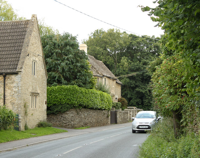
Image: © Maurice Pullin Taken: 28 Aug 2010
Heading south east to Yatton Keynell and the A420.
Images are licensed for reuse under creativecommons.org/licenses/by-sa/2.0
Image Location


Leaflet Map data © OpenStreetMap
Latitude
51.494616
Longitude
-2.220052