Field towards the edge of North Anston
Introduction
The photograph on this page of Field towards the edge of North Anston by Andrew Hill as part of the Geograph project.
The Geograph project started in 2005 with the aim of publishing, organising and preserving representative images for every square kilometre of Great Britain, Ireland and the Isle of Man.

There are currently over 7.5m images from over 14,400 individuals and you can help contribute to the project by visiting https://www.geograph.org.uk
Field towards the edge of North Anston
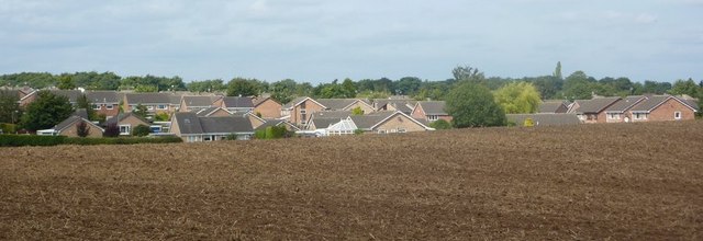
Image: © Andrew Hill Taken: 4 Sep 2010
There is a clear boundary between the open fields and the built up areas here.
Images are licensed for reuse under creativecommons.org/licenses/by-sa/2.0
Image Location


Leaflet Map data © OpenStreetMap
Latitude
53.357535
Longitude
-1.207245