Ampthill and Maulden from the air
Introduction
The photograph on this page of Ampthill and Maulden from the air by Thomas Nugent as part of the Geograph project.
The Geograph project started in 2005 with the aim of publishing, organising and preserving representative images for every square kilometre of Great Britain, Ireland and the Isle of Man.

There are currently over 7.5m images from over 14,400 individuals and you can help contribute to the project by visiting https://www.geograph.org.uk
Ampthill and Maulden from the air
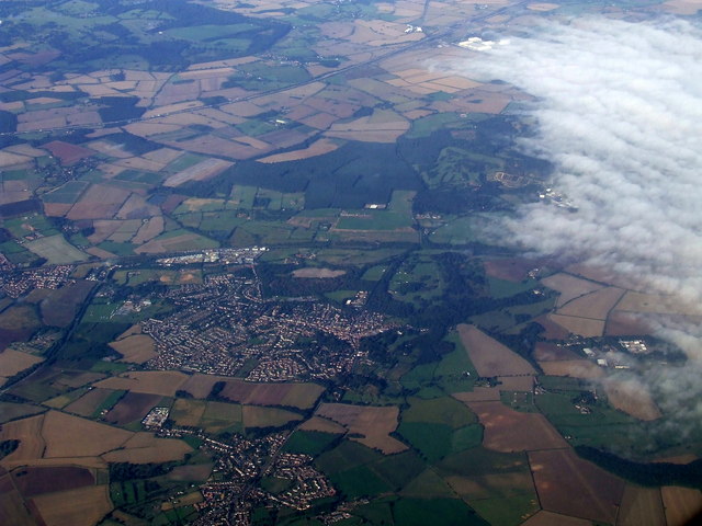
Image: © Thomas Nugent Taken: 4 Sep 2010
Maulden is nearest the camera in this view from a Glasgow bound flight from Luton.
Images are licensed for reuse under creativecommons.org/licenses/by-sa/2.0
Image Location
Latitude
52.03488
Longitude
-0.463448