Castlefield Basin
Introduction
The photograph on this page of Castlefield Basin by Stephen McKay as part of the Geograph project.
The Geograph project started in 2005 with the aim of publishing, organising and preserving representative images for every square kilometre of Great Britain, Ireland and the Isle of Man.

There are currently over 7.5m images from over 14,400 individuals and you can help contribute to the project by visiting https://www.geograph.org.uk
Castlefield Basin
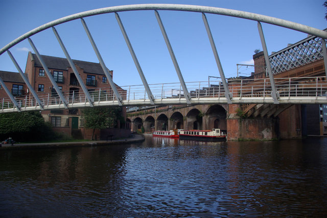
Image: © Stephen McKay Taken: 30 Aug 2010
At Castlefield the Bridgewater and Rochdale canals meet in an area with extensive visitor moorings - generally considered the best in central Manchester. The junction is crossed by the modern - and controversial - Merchants Footbridge.
Images are licensed for reuse under creativecommons.org/licenses/by-sa/2.0
Image Location
Latitude
53.474224
Longitude
-2.256837