Wheat fields and hedgerows
Introduction
The photograph on this page of Wheat fields and hedgerows by Graham Scarborough as part of the Geograph project.
The Geograph project started in 2005 with the aim of publishing, organising and preserving representative images for every square kilometre of Great Britain, Ireland and the Isle of Man.

There are currently over 7.5m images from over 14,400 individuals and you can help contribute to the project by visiting https://www.geograph.org.uk
Wheat fields and hedgerows
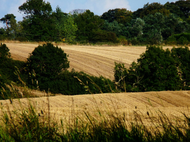
Image: © Graham Scarborough Taken: 5 Sep 2010
This area is "undergoing hedgerow restoration in order to restore the traditional landscape. Wildlife is also being enhanced through the use of arable field margins which will complement the restored hedgerows, all of which is being funded through Country Stewardship" according to an information plaque on this permissive bridleway.
Images are licensed for reuse under creativecommons.org/licenses/by-sa/2.0
Image Location
Latitude
54.516279
Longitude
-1.251092