Waters Meeting
Introduction
The photograph on this page of Waters Meeting by Stephen McKay as part of the Geograph project.
The Geograph project started in 2005 with the aim of publishing, organising and preserving representative images for every square kilometre of Great Britain, Ireland and the Isle of Man.

There are currently over 7.5m images from over 14,400 individuals and you can help contribute to the project by visiting https://www.geograph.org.uk
Waters Meeting
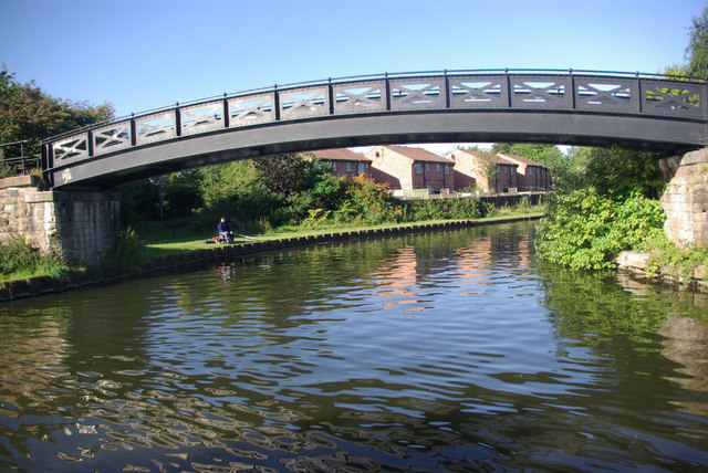
Image: © Stephen McKay Taken: 30 Aug 2010
Despite the bucolic name, this is a very urban location on the northern edge of Stretford where different branches of the Bridgewater Canal come together. This branch of the canal heads towards Leigh.
Images are licensed for reuse under creativecommons.org/licenses/by-sa/2.0
Image Location
Latitude
53.456571
Longitude
-2.30959