Hitherfield Road, Streatham
Introduction
The photograph on this page of Hitherfield Road, Streatham by Marathon as part of the Geograph project.
The Geograph project started in 2005 with the aim of publishing, organising and preserving representative images for every square kilometre of Great Britain, Ireland and the Isle of Man.

There are currently over 7.5m images from over 14,400 individuals and you can help contribute to the project by visiting https://www.geograph.org.uk
Hitherfield Road, Streatham
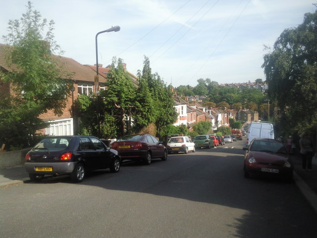
Image: © Marathon Taken: 1 Sep 2010
Hitherfield Road is quite steep. At the foot of the hill is Leigham Vale and the railway between Streatham and Tulse Hill. Beyond, the other side of the valley slopes up again. The valley is followed by an underground stream which is a tributary of the River Effra.
Images are licensed for reuse under creativecommons.org/licenses/by-sa/2.0
Image Location
Latitude
51.436075
Longitude
-0.115736