Picts Lane
Introduction
The photograph on this page of Picts Lane by Simon Carey as part of the Geograph project.
The Geograph project started in 2005 with the aim of publishing, organising and preserving representative images for every square kilometre of Great Britain, Ireland and the Isle of Man.

There are currently over 7.5m images from over 14,400 individuals and you can help contribute to the project by visiting https://www.geograph.org.uk
Picts Lane
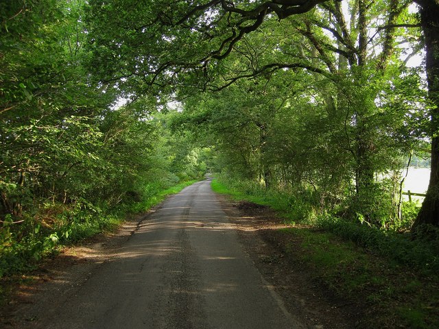
Image: © Simon Carey Taken: 4 Sep 2010
Connecting Smith's Cross to Bolney Road, the A272. Originally this was the northern part of Kent Street Lane but had changed beyond the building of Bolney Road in 1825. Now it is the southern part of Picts Lane which heads west at Smith's Cross towards Horsham Road, the A281.
Images are licensed for reuse under creativecommons.org/licenses/by-sa/2.0
Image Location
Latitude
50.996263
Longitude
-0.244909