Building site, Bettws, Newport
Introduction
The photograph on this page of Building site, Bettws, Newport by Jaggery as part of the Geograph project.
The Geograph project started in 2005 with the aim of publishing, organising and preserving representative images for every square kilometre of Great Britain, Ireland and the Isle of Man.

There are currently over 7.5m images from over 14,400 individuals and you can help contribute to the project by visiting https://www.geograph.org.uk
Building site, Bettws, Newport
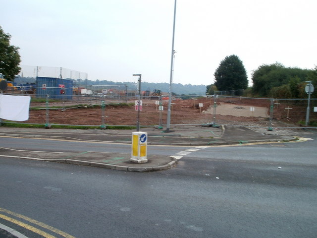
Image: © Jaggery Taken: 5 Sep 2010
Viewed from the corner of Bettws Lane and Monnow Way. The site of the former Bettws High School is being redeveloped by Barratt Housing. This view is of the NW corner of the site, now named Foxglove Meadows. Nearby, two houses are being built. http://www.geograph.org.uk/photo/2052370
Images are licensed for reuse under creativecommons.org/licenses/by-sa/2.0
Image Location
Latitude
51.607115
Longitude
-3.017986