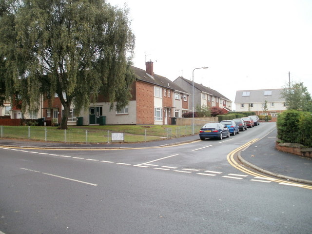
Parret Close, Bettws, Newport
Introduction
The photograph on this page of Parret Close, Bettws, Newport by Jaggery as part of the Geograph project.
The Geograph project started in 2005 with the aim of publishing, organising and preserving representative images for every square kilometre of Great Britain, Ireland and the Isle of Man.
There are currently over 7.5m images from over 14,400 individuals and you can help contribute to the project by visiting https://www.geograph.org.uk

Image: © Jaggery Taken: 5 Sep 2010
Viewed across Monnow Way. Parret Close leads to Tees Close and Meon Close. Most streets in Bettws are named after rivers. The choice of names is interesting. Doubtless many of the local residents (and also the occasional passing Geographer) would not know even a rough location for some of river names used. For example, Meon was unknown to me when I took the photo. It is a fairly short river (21 miles or 38 kilometres) in Hampshire. http://www.geograph.org.uk/photo/1998625 The contributor of that photo stated "It is hardly big enough to qualify as a river".

