West Moore
Introduction
The photograph on this page of West Moore by Simon Carey as part of the Geograph project.
The Geograph project started in 2005 with the aim of publishing, organising and preserving representative images for every square kilometre of Great Britain, Ireland and the Isle of Man.

There are currently over 7.5m images from over 14,400 individuals and you can help contribute to the project by visiting https://www.geograph.org.uk
West Moore
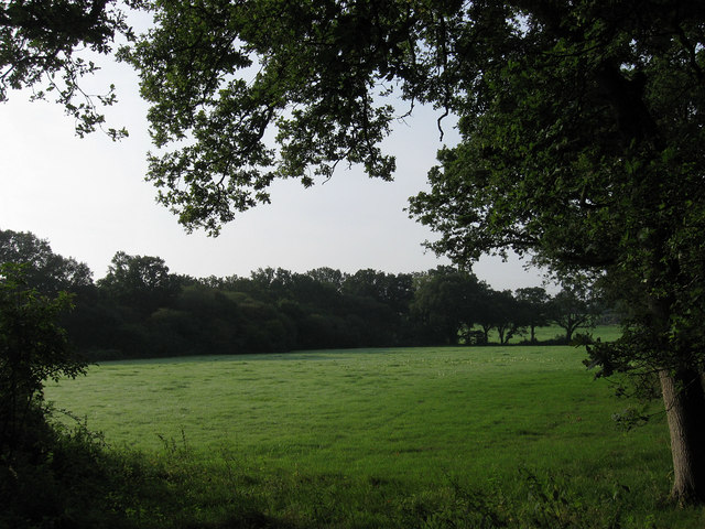
Image: © Simon Carey Taken: 4 Sep 2010
The name of the field according to the 1840 tithe map. Any field name with moor or moore in describes barren waste land with this one lying between Kent Street Lane and a small unnamed stream which probably made it too boggy to use effectively in the past.
Images are licensed for reuse under creativecommons.org/licenses/by-sa/2.0
Image Location
Latitude
50.986565
Longitude
-0.245844