Spring Gardens
Introduction
The photograph on this page of Spring Gardens by Bob Embleton as part of the Geograph project.
The Geograph project started in 2005 with the aim of publishing, organising and preserving representative images for every square kilometre of Great Britain, Ireland and the Isle of Man.

There are currently over 7.5m images from over 14,400 individuals and you can help contribute to the project by visiting https://www.geograph.org.uk
Spring Gardens
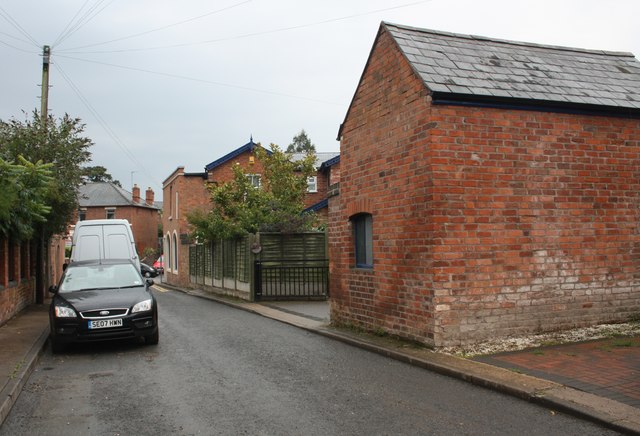
Image: © Bob Embleton Taken: 5 Sep 2010
The narrow, no through road, near its junction with the Worcester Road. On the right is Ash Villa (dated 1855) which may have had its own stables (near the camera). Image
Images are licensed for reuse under creativecommons.org/licenses/by-sa/2.0
Image Location
Latitude
52.132334
Longitude
-2.30631