Church Lane meets Old Warwick Road B4439
Introduction
The photograph on this page of Church Lane meets Old Warwick Road B4439 by Robin Stott as part of the Geograph project.
The Geograph project started in 2005 with the aim of publishing, organising and preserving representative images for every square kilometre of Great Britain, Ireland and the Isle of Man.

There are currently over 7.5m images from over 14,400 individuals and you can help contribute to the project by visiting https://www.geograph.org.uk
Church Lane meets Old Warwick Road B4439
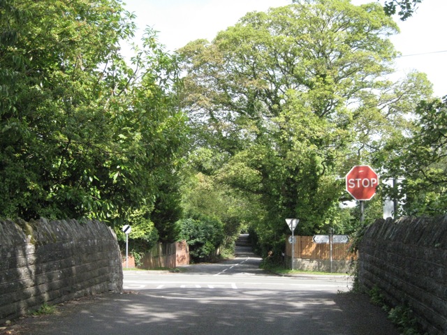
Image: © Robin Stott Taken: 1 Sep 2010
The junction is a few yards beyond Bridge 29 on the Stratford-upon-Avon canal. Lock 2 is immediately to the left. By road turn left for Hockley Heath, turn right for Lapworth and Warwick. Lapworth is hard to pin down as a place. It is a dispersed settlement, characteristic of Arden, and a large parish. The parish church is back down the lane behind the camera. The village of Kingswood to the east, at the canal junction, is often referred to as Lapworth. The railway station at Kingswood is called Lapworth. The road across the junction is Grove Lane, which heads north to Knowle.
Images are licensed for reuse under creativecommons.org/licenses/by-sa/2.0
Image Location
Latitude
52.341961
Longitude
-1.758352