Chester Road, Stretford
Introduction
The photograph on this page of Chester Road, Stretford by Bill Boaden as part of the Geograph project.
The Geograph project started in 2005 with the aim of publishing, organising and preserving representative images for every square kilometre of Great Britain, Ireland and the Isle of Man.

There are currently over 7.5m images from over 14,400 individuals and you can help contribute to the project by visiting https://www.geograph.org.uk
Chester Road, Stretford
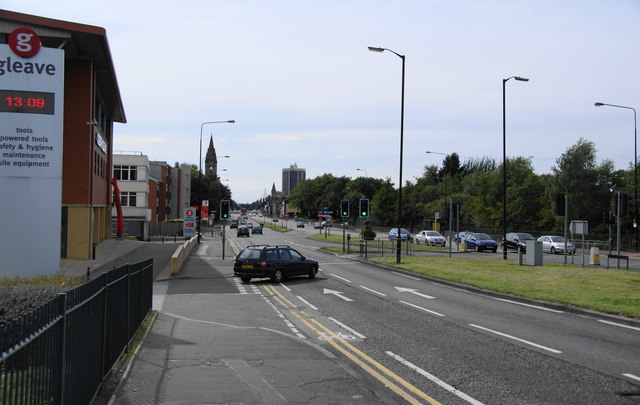
Image: © Bill Boaden Taken: 4 Sep 2010
The A56 has just gone over the slight bump caused by crossing the Bridgewater Canal. Further ahead, you can see St Ann's RC Church on the left.
Images are licensed for reuse under creativecommons.org/licenses/by-sa/2.0
Image Location
Latitude
53.450569
Longitude
-2.301716