Avondale Road
Introduction
The photograph on this page of Avondale Road by Martin Addison as part of the Geograph project.
The Geograph project started in 2005 with the aim of publishing, organising and preserving representative images for every square kilometre of Great Britain, Ireland and the Isle of Man.

There are currently over 7.5m images from over 14,400 individuals and you can help contribute to the project by visiting https://www.geograph.org.uk
Avondale Road
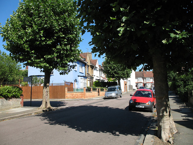
Image: © Martin Addison Taken: 18 Jul 2006
Looking up the hill towards Squires Lane. The road on the left is Montpelier Road. The London Plane trees and are pollarded every year to keep them a sensible size - left to grow naturally they become very large trees.
Images are licensed for reuse under creativecommons.org/licenses/by-sa/2.0
Image Location
Latitude
51.600566
Longitude
-0.179545