Eggington - Village Houses
Introduction
The photograph on this page of Eggington - Village Houses by Rob Farrow as part of the Geograph project.
The Geograph project started in 2005 with the aim of publishing, organising and preserving representative images for every square kilometre of Great Britain, Ireland and the Isle of Man.

There are currently over 7.5m images from over 14,400 individuals and you can help contribute to the project by visiting https://www.geograph.org.uk
Eggington - Village Houses
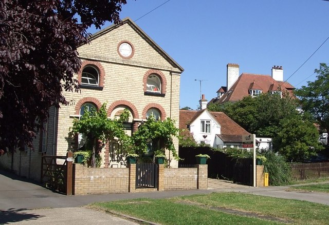
Image: © Rob Farrow Taken: 18 Jul 2006
The nearest of these buildings was originally a Wesleyan Chapel which the circular plaque informs us was enlarged in 1867. The large building in background is now a residential nursing home. So while one public building has become a private home, a private home two doors away has made the opposite transition.
Images are licensed for reuse under creativecommons.org/licenses/by-sa/2.0
Image Location
Latitude
51.91625
Longitude
-0.612902