Fields near Teesside Power Station
Introduction
The photograph on this page of Fields near Teesside Power Station by Philip Barker as part of the Geograph project.
The Geograph project started in 2005 with the aim of publishing, organising and preserving representative images for every square kilometre of Great Britain, Ireland and the Isle of Man.

There are currently over 7.5m images from over 14,400 individuals and you can help contribute to the project by visiting https://www.geograph.org.uk
Fields near Teesside Power Station
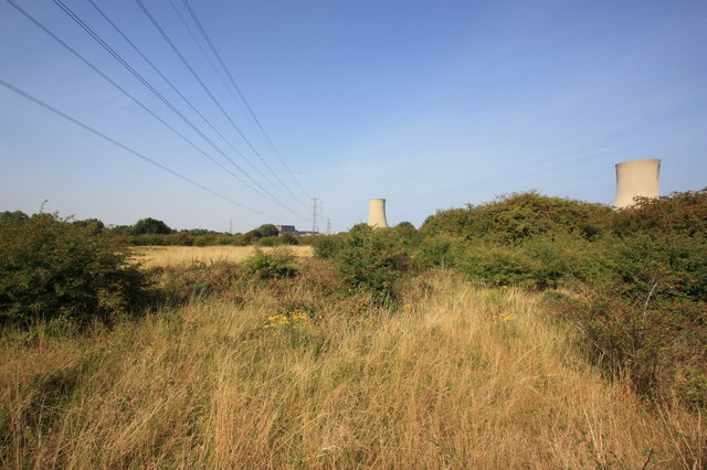
Image: © Philip Barker Taken: 3 Sep 2010
This photograph shows a view of some of the fields lying between Greystone Road (A1053) - to the left of the viewing angle - and Teesside Power station (to the right). Two cooling towers are visible in the right-hand side of the image. The picture was taken looking in a northerly direction towards Tees Mouth.
Images are licensed for reuse under creativecommons.org/licenses/by-sa/2.0
Image Location
Latitude
54.574705
Longitude
-1.131525