Rumburgh 'Buck' public house
Introduction
The photograph on this page of Rumburgh 'Buck' public house by Adrian S Pye as part of the Geograph project.
The Geograph project started in 2005 with the aim of publishing, organising and preserving representative images for every square kilometre of Great Britain, Ireland and the Isle of Man.

There are currently over 7.5m images from over 14,400 individuals and you can help contribute to the project by visiting https://www.geograph.org.uk
Rumburgh 'Buck' public house
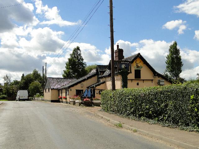
Image: © Adrian S Pye Taken: 3 Sep 2010
The Buck has stood here for centuries and probably started as a small cottage industry with an ale-wife brewing her own ale. Many public houses started in a similar manner.
Images are licensed for reuse under creativecommons.org/licenses/by-sa/2.0
Image Location
Latitude
52.380215
Longitude
1.444115