Field of Cabbages
Introduction
The photograph on this page of Field of Cabbages by Mark Anderson as part of the Geograph project.
The Geograph project started in 2005 with the aim of publishing, organising and preserving representative images for every square kilometre of Great Britain, Ireland and the Isle of Man.

There are currently over 7.5m images from over 14,400 individuals and you can help contribute to the project by visiting https://www.geograph.org.uk
Field of Cabbages
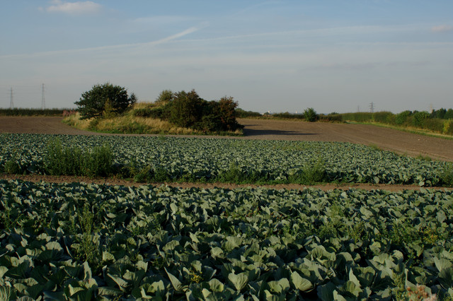
Image: © Mark Anderson Taken: 3 Sep 2010
The mound of earth in this field is identified on the 1854 Yorkshire Map as old coal pits.
Images are licensed for reuse under creativecommons.org/licenses/by-sa/2.0
Image Location
Latitude
53.750436
Longitude
-1.512115