Outbuilding at Manor Farm
Introduction
The photograph on this page of Outbuilding at Manor Farm by Shazz as part of the Geograph project.
The Geograph project started in 2005 with the aim of publishing, organising and preserving representative images for every square kilometre of Great Britain, Ireland and the Isle of Man.

There are currently over 7.5m images from over 14,400 individuals and you can help contribute to the project by visiting https://www.geograph.org.uk
Outbuilding at Manor Farm
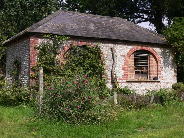
Image: © Shazz Taken: 2 Sep 2010
The first photograph of this building was submitted four months earlier (http://www.geograph.org.uk/photo/1806873 ). Onions have now been added.
Images are licensed for reuse under creativecommons.org/licenses/by-sa/2.0
Image Location
Latitude
50.939975
Longitude
-0.636173