Midland Main Line
Introduction
The photograph on this page of Midland Main Line by Andrew Tatlow as part of the Geograph project.
The Geograph project started in 2005 with the aim of publishing, organising and preserving representative images for every square kilometre of Great Britain, Ireland and the Isle of Man.

There are currently over 7.5m images from over 14,400 individuals and you can help contribute to the project by visiting https://www.geograph.org.uk
Midland Main Line
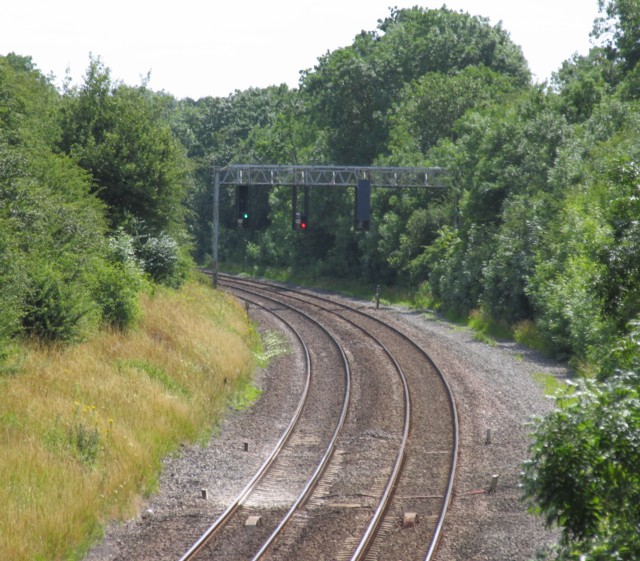
Image: © Andrew Tatlow Taken: 14 Jul 2006
The "Midland Main Line" to London. Notice that there are signals over both tracks for both directions. The signalling system on the line was modernised in the late 1980's and 4 tracks reduced to 2 with a high speed bi-directional capability being implemented.
Images are licensed for reuse under creativecommons.org/licenses/by-sa/2.0
Image Location
Latitude
52.540571
Longitude
-1.0047