Bottier Road at St. Colman's Church, Lurganville
Introduction
The photograph on this page of Bottier Road at St. Colman's Church, Lurganville by Dean Molyneaux as part of the Geograph project.
The Geograph project started in 2005 with the aim of publishing, organising and preserving representative images for every square kilometre of Great Britain, Ireland and the Isle of Man.

There are currently over 7.5m images from over 14,400 individuals and you can help contribute to the project by visiting https://www.geograph.org.uk
Bottier Road at St. Colman's Church, Lurganville
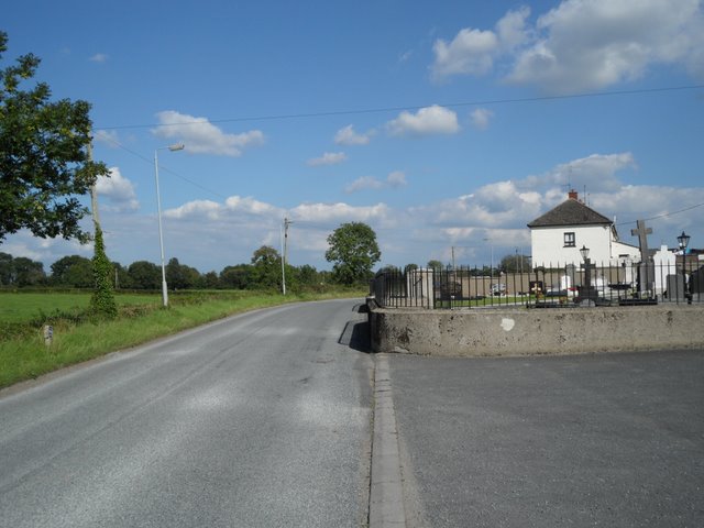
Image: © Dean Molyneaux Taken: 15 Aug 2010
Looking towards the hamlet of Lurganville - a mile southeast of Moira. The row of houses on the right is Laganview Terrace. This Bottier Road (one of two in the townland of Bottier) leads from Lurganville westwards to the Clarehill Road, just short of Moira village.
Images are licensed for reuse under creativecommons.org/licenses/by-sa/2.0
Image Location
Latitude
54.470372
Longitude
-6.187938