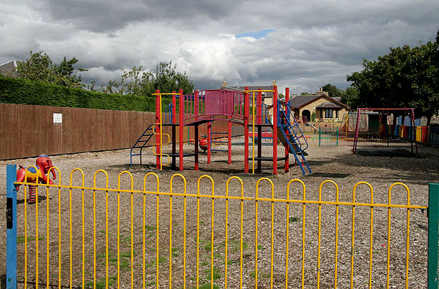
A play area at Crofts Road, Lauder
Introduction
The photograph on this page of A play area at Crofts Road, Lauder by Walter Baxter as part of the Geograph project.
The Geograph project started in 2005 with the aim of publishing, organising and preserving representative images for every square kilometre of Great Britain, Ireland and the Isle of Man.
There are currently over 7.5m images from over 14,400 individuals and you can help contribute to the project by visiting https://www.geograph.org.uk

Image: © Walter Baxter Taken: 25 Aug 2010
This play area between Crofts Road and the recreation ground is due to be removed to make way for a new health centre in a joint project with Scottish Borders Council and NHS Borders. The existing play area is to be replaced with a new and improved play area on the northwest side of the recreation ground. The proposed developments in this area have still to be finalised, as an action group called Protect Our Greenfield Site (POGS) have opposed the plans on the grounds that it will reduce the green space in the town.

