Former harbour railway, Carrickfergus (2)
Introduction
The photograph on this page of Former harbour railway, Carrickfergus (2) by Albert Bridge as part of the Geograph project.
The Geograph project started in 2005 with the aim of publishing, organising and preserving representative images for every square kilometre of Great Britain, Ireland and the Isle of Man.

There are currently over 7.5m images from over 14,400 individuals and you can help contribute to the project by visiting https://www.geograph.org.uk
Former harbour railway, Carrickfergus (2)
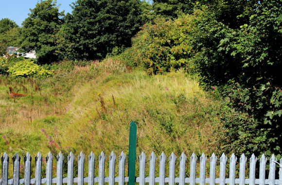
Image: © Albert Bridge Taken: 2 Sep 2010
See Image Standing on the embankment in the previous photo and looking (northwest) at the remaining section of the former harbour branch. Continue to Image
Images are licensed for reuse under creativecommons.org/licenses/by-sa/2.0
Image Location
Latitude
54.71353
Longitude
-5.814279