The Irish Quarter South, Carrickfergus (1)
Introduction
The photograph on this page of The Irish Quarter South, Carrickfergus (1) by Albert Bridge as part of the Geograph project.
The Geograph project started in 2005 with the aim of publishing, organising and preserving representative images for every square kilometre of Great Britain, Ireland and the Isle of Man.

There are currently over 7.5m images from over 14,400 individuals and you can help contribute to the project by visiting https://www.geograph.org.uk
The Irish Quarter South, Carrickfergus (1)
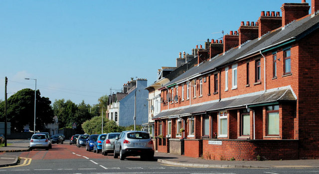
Image: © Albert Bridge Taken: 2 Sep 2010
In the period shortly after the Plantation of Ulster, the indigenous Irish and the Scottish settlers lived in different parts of Carrickfergus – both outside the town wall Image The Irish Quarter was on the south western side of the town. Continue to Image
Images are licensed for reuse under creativecommons.org/licenses/by-sa/2.0
Image Location
Latitude
54.713404
Longitude
-5.812269