Derelict buildings, Carrickfergus
Introduction
The photograph on this page of Derelict buildings, Carrickfergus by Albert Bridge as part of the Geograph project.
The Geograph project started in 2005 with the aim of publishing, organising and preserving representative images for every square kilometre of Great Britain, Ireland and the Isle of Man.

There are currently over 7.5m images from over 14,400 individuals and you can help contribute to the project by visiting https://www.geograph.org.uk
Derelict buildings, Carrickfergus
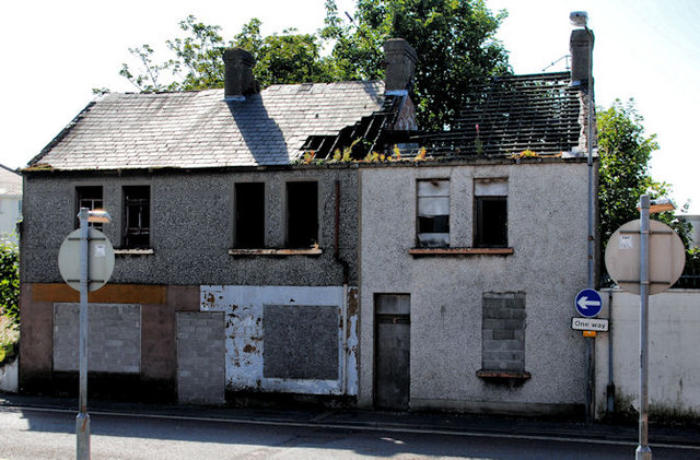
Image: © Albert Bridge Taken: 2 Sep 2010
A row of three derelict buildings in Irish Quarter West Image, beside to the former gasworks, opposite Nelson Street Image
Images are licensed for reuse under creativecommons.org/licenses/by-sa/2.0
Image Location
Latitude
54.714644
Longitude
-5.811271