Ditch towards Meadow View
Introduction
The photograph on this page of Ditch towards Meadow View by David Anstiss as part of the Geograph project.
The Geograph project started in 2005 with the aim of publishing, organising and preserving representative images for every square kilometre of Great Britain, Ireland and the Isle of Man.

There are currently over 7.5m images from over 14,400 individuals and you can help contribute to the project by visiting https://www.geograph.org.uk
Ditch towards Meadow View
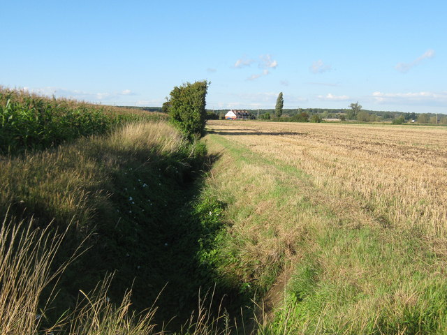
Image: © David Anstiss Taken: 29 Aug 2010
As seen from a footpath between Ham Mill Farm and Bridge Farm. This ditch heads northwards to the cottages beside the Royal Military Canal. On the left is a late crop of Sweetcorn.
Images are licensed for reuse under creativecommons.org/licenses/by-sa/2.0
Image Location
Latitude
51.051369
Longitude
0.847466