Houses across the churchyard, Harthill
Introduction
The photograph on this page of Houses across the churchyard, Harthill by Andrew Hill as part of the Geograph project.
The Geograph project started in 2005 with the aim of publishing, organising and preserving representative images for every square kilometre of Great Britain, Ireland and the Isle of Man.

There are currently over 7.5m images from over 14,400 individuals and you can help contribute to the project by visiting https://www.geograph.org.uk
Houses across the churchyard, Harthill
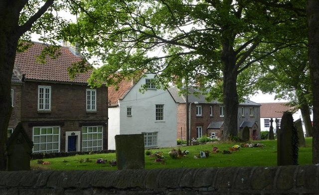
Image: © Andrew Hill Taken: 2 Sep 2010
Looking across the corner of the churchyard to houses on Union Street, the main road through the village. The 1:25,000 map puts the church firmly within the square.
Images are licensed for reuse under creativecommons.org/licenses/by-sa/2.0
Image Location
Latitude
53.323271
Longitude
-1.260726