Belfast from Braniel
Introduction
The photograph on this page of Belfast from Braniel by Rossographer as part of the Geograph project.
The Geograph project started in 2005 with the aim of publishing, organising and preserving representative images for every square kilometre of Great Britain, Ireland and the Isle of Man.

There are currently over 7.5m images from over 14,400 individuals and you can help contribute to the project by visiting https://www.geograph.org.uk
Belfast from Braniel
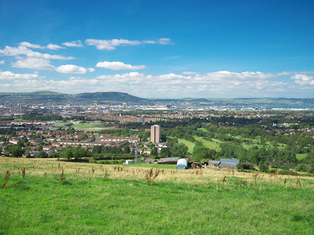
Image: © Rossographer Taken: 30 Aug 2010
A view over Belfast from the Middle Braniel Road. Braniel and Shandon golf course in the foreground with central Belfast beyond - note prominent features such as the shipyard cranes. The hills of County Antrim can be seen in the distance.
Images are licensed for reuse under creativecommons.org/licenses/by-sa/2.0
Image Location
Latitude
54.57381
Longitude
-5.8544